Places to see
The falls, peaks and temples people come for. None of these are booked through us — they are here so you know where you are going.
- fort
Ballalarayana Durga
Fort · Mudigere
A ruined Hoysala hill fort at 1,509 m, attributed to the reign of Veera Ballala. The walk up is about 3.8 km from the Kalabhairaveshwara temple at Durgadahalli, two and a half hours at a steady pace, and the usual route continues along the ridge to Bandaje Arbi falls — one of the district’s best two-day traverses. Rani Jhari is on the same ridge.
FreePermit needed

Charmadi Ghat
Viewpoint · Mudigere
The road from Mudigere down to the coast, twenty-odd kilometres of hairpins through evergreen forest with waterfalls spilling straight onto the tarmac in the monsoon. The lay-bys near the top look down the whole escarpment to the plains. It is a drive rather than a destination, and one of the great ones: stop at Alekhan Horatti for the falls and at any bend for the view.
Free
Devaramane
Viewpoint · Mudigere
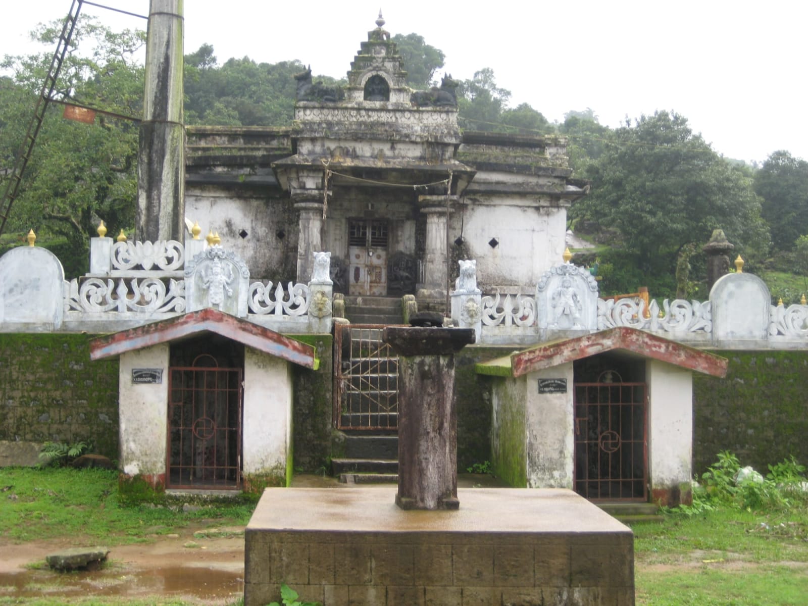
A ridge of grassland above the village of Devaramane with an old Kalabhairaveshwara temple at the top, one of the few places in the district where you can watch the sun set over the Western Ghats from a temple courtyard. The road reaches the top, so it suits people who want the view without the trek. The village is coffee and cardamom country and the homestays here are among the quietest in Mudigere.
Free

Ettina Bhuja
Peak · Mudigere
A bare rock dome shaped like an ox's shoulder, which is what the name means, standing clear of the grassland above Byrapura. The walk up is about four kilometres through estate and then open hillside, steep only at the end, and the summit ledge looks straight down the escarpment to the coastal plain. It is the easiest of the district's big-view peaks, which makes it the busiest on winter weekends.
FreePermit needed

Hanuman Gundi Falls
Waterfall · Mudigere
Also called Soothanabbi Falls, inside Kudremukh National Park. Roughly 350 steps descend to a 22 m fall in a rock amphitheatre.
₹50 entry
Horanadu Annapoorneshwari Temple
Temple · Mudigere
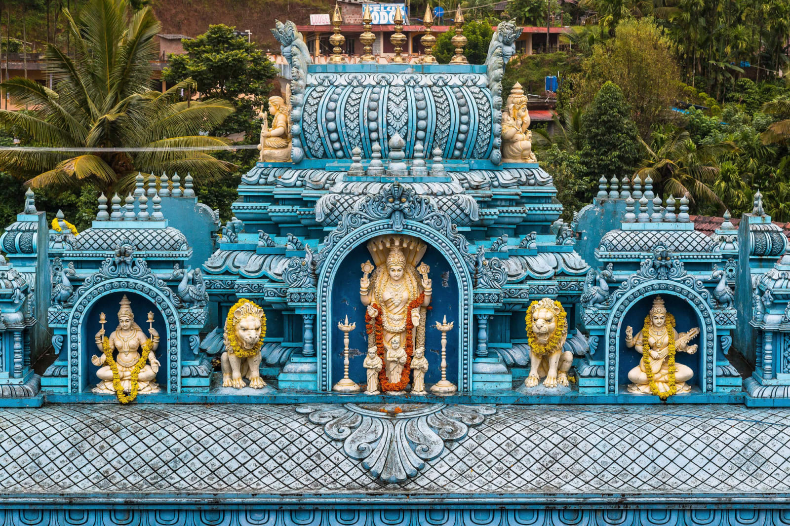
A temple to the goddess of food, deep in the Bhadra valley below the Kudremukh range. What draws people is not the architecture, which is modern, but the rule of the house: nobody who comes is allowed to leave hungry. Free meals are served to every visitor all day in a hall that seats hundreds, and pilgrims may stay the night. The drive in from Kalasa through areca gardens and paddy is one of the prettiest in the district.
Free

Kalasa and the Kalaseshwara Temple
Temple · Mudigere
A small temple town on the Bhadra, the base for Kudremukh, Horanadu and the Kyathanamakki hills. The Kalaseshwara temple sits on a rise above the river, an old stone shrine with a Dravidian shikhara and a wooden mantapa in the Malnad style. Kalasa itself is worth an hour: a bridge over the Bhadra, a market that sells estate coffee and honey, and every trekking permit office within walking distance.
Free

Kudremukh National Park
Sanctuarie · Mudigere
About 600 sq km of rolling montane grassland and shola forest along the crest of the Western Ghats, one of the largest stretches of that landscape left anywhere. The park protects the source of three rivers and a good population of lion-tailed macaques, tigers and Malabar civets that you will almost certainly not see. What you will see is grass to the horizon, streams every few hundred metres, and cloud moving through the valleys. Kudremukh peak, Gangamoola, Kadambi and Hanuman Gundi falls are all inside it.
FreePermit needed
Kudremukh Peak
Peak · Mudigere
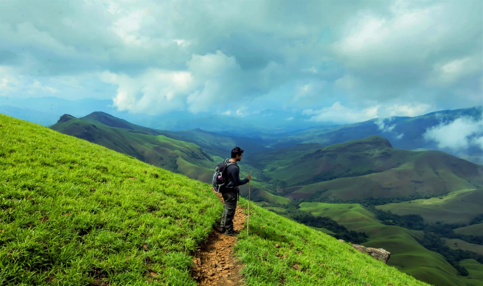
The third-highest peak in Karnataka at 1,894 m, named for a ridge profile shaped like a horse's face. A roughly 18 km return trek through rolling grassland and shola forest inside Kudremukh National Park.
FreePermit needed

Kyathanamakki Hills
Viewpoint · Mudigere
A ridge of open grassland above Kalasa, reached by a rough jeep track that is the reason most people go with a local driver. From the top the view runs across the whole Kudremukh range to the west and down into the Bhadra valley to the east, and in the monsoon the cloud pours over the ridge like a tide. No shop, no shelter, no fee: take water and leave nothing.
₹50 entry

Netravati Peak
Peak · Mudigere
The quieter neighbour of Kudremukh, climbed from Samse through the same rolling grassland but with a fraction of the people. The trail crosses several streams and a saddle before a final ridge to a summit that looks across at Kudremukh's horse-face profile. The Netravati river, which reaches the sea at Mangaluru, rises on its slopes.
FreePermit needed
Rani Jhari Viewpoint
Viewpoint · Mudigere
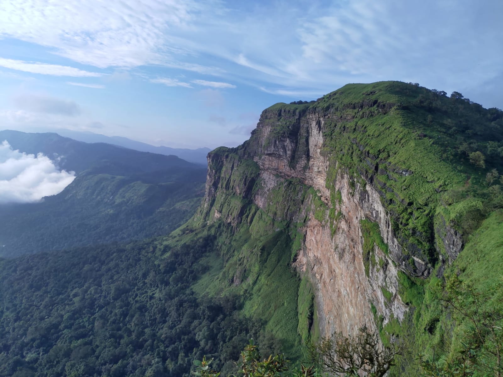
A cliff edge above Durgadahalli, near Sunkasale and next door to Ballalarayana Durga, where the Western Ghats fall away in one sheer drop to the Dakshina Kannada plain. It is a walk of about 1.5 km from the Kalabhairaveshwara temple at Durgadahalli — half an hour, no scrambling. Local legend gives it its name: Rani Padmini is said to have leapt from here rather than be taken by Tipu Sultan. Gatikallu viewpoint is a few minutes further along the same edge.
Free